Radar and forecasts can only go so far during storm season

I was recently asked how to identify or know if a severe storm is capable of producing severe weather. That is not easily answered.
Read Also

Farm groups analyze greenwashing rules
Canadian farm organizations say they are considering submissions to the federal consultation on greenwashing. Public consultations are underway until Sept. 27, following passage of new provisions in the Competition Act in June derived through Bill C-59.
The first thing is to listen to Environment Canada for watches and warnings. They are the only entity allowed to issue watches and warnings in Canada. If a watch is issued, it means the potential exists for severe thunderstorms, but they have not yet developed in your area.
When you hear there is a watch, you should do exactly that — watch the sky.
If Environment Canada issues a warning, it means a thunderstorm with some or all the characteristics of a severe storm has developed and has been confirmed by eyewitness or radar. This means you should take precautions immediately.
If you are out in the field, you will usually have access to data from Environment Canada and will even be able to check radar. It is also important to simply watch and understand the signals Mother Nature is giving.
First, recognize the conditions. How warm and humid is the air? Remember, a moist atmosphere means there is a lot of energy available. Look for a dark or threatening sky and then look closely at the area between the storm and the ground. If you can see through it, the storm is likely not severe yet.
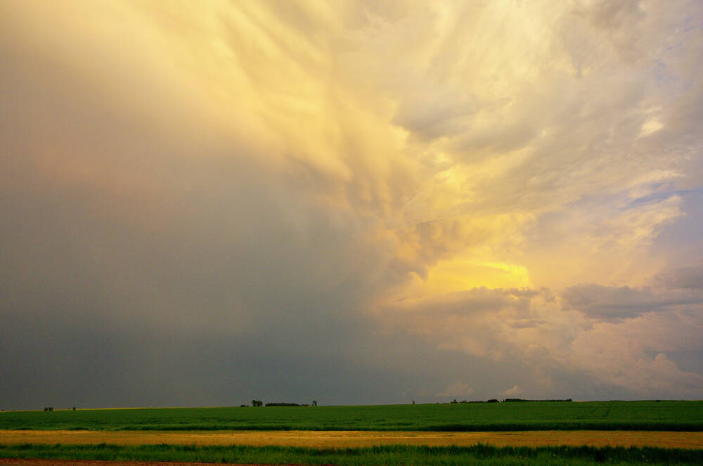
Lots of lightning or nearly continuous thunder is a good indication of a severe storm. As the storm approaches, watch for a green sky and mammatus clouds (clouds that look like bag-like sacks that hang beneath a cloud). These conditions usually indicate the stormcontains huge amounts of water and has very strong up and down drafts.
Finally, watch for any kind of rotation within the storm. This means the storm has become very strong and can produce a tornado.
If you have access to radar, you will be able to see where the storm is and how it is developing. Make sure you look at the last hour to three hours of data by playing the radar loop. This will show the motion of the storm and determine if it is developing or weakening.
Remember, thunderstorms can grow and collapse rapidly. One area on radar could show a very strong storm, and 10 to 20 minutes later, that area has weakened but another area has developed. Radar can be a huge help in determining if a severe storm is moving in your direction, but always be ready even if it looks like it might miss you.
The word tornado for most people brings a feeling of awe and even a little fear. Unless you have already witnessed a tornado firsthand, many who are interested in weather secretly wish they could safely experience the awesome beauty and terrible power of a tornado.
Worldwide, Canada is second only to the United States in the number of tornadoes occurring each year, with an average of about 70 reported. Southern Ontario experiences the highest number, followed by southern Manitoba, Saskatchewan and central Alberta. While these areas report most of Canada’s tornadoes, they have occurred in nearly all regions of the country.
Tornadoes can strike at any time of the year, but in Canada, tornado season runs from April to October, with the peak in June, July and August. This differs from the U.S., where tornadoes peak in April and May. This is due to the amount of cold air available for severe storm development.
In spring, the southern and central U.S. becomes quite hot, but cold air is still closely available to help develop thunderstorms. By mid-summer, most of the cold air has retreated into Canada, putting our region into warm conditions, though we still have cold air fairly close by to our north.
There are several theories on how tornadoes develop, and more research is being done as technology and storm chasing become more sophisticated. The reason we still do not have definite answers is due to the size and nature of tornadoes.
The first problem is that tornadoes form in thunderstorms. While we are getting better at predicting where thunderstorms will develop, we are not yet that accurate. Saying a storm will develop in southwestern Ontario is pretty good, but that is still a large region.
The next issue is size of the storms. Some are small, measuring a few square kilometres, while others can be hundreds of square kilometres. These large storm systems are usually made up of several individual cells, which are in the 25 square km range. So, even if you are right around a severe thunderstorm complex, trying to pinpoint location of the most severe cell will be tough, especially since they are in a constant state of growth and decay.
Most tornadoes are about 75 to 100 meters across, so we really have a needle in a haystack to find.
Finally, trying to research in a severe weather environment is extremely difficult and dangerous, not to mention expensive.
Source: Farmtario.com

