Satellite images of plants’ fluorescence can predict crop yields
Cornell University researchers and collaborators have developed a framework that allows scientists to predict crop yield without the need for enormous amounts of high-quality data that are often scarce in developing countries, especially those facing heightened food insecurity and climate risk.
Read Also

‘Recovering Farmer’ shares his story of farmer mental health in new book
Glacier FarmMedia – Gerry Friesen is doing an uncomfortable thing. He’s putting both his name and internal struggles out for…
In many parts of the world, crop yields are dropping, largely due to the effects of climate change. According to a recent Cornell study, over the last four decades, for every one degree of warming, net farm income decreased by 66 per cent.
Farmers in developed countries can often rely on big data sets and risk management tools to reduce the impacts of extreme heat on their yield and income. But in developing countries, data is scarce, and it is often difficult to accurately measure crop yield.
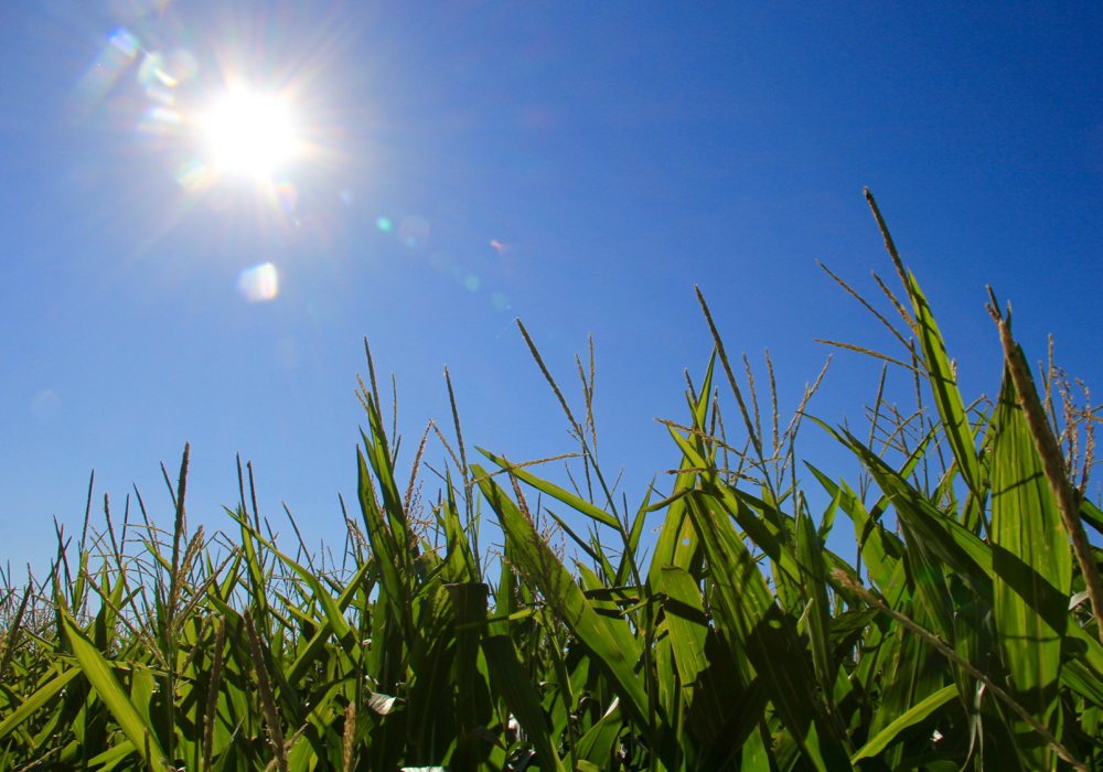
In a paper accepted in Environmental Research Letters, the researchers suggest using satellite photos to remotely measure solar-induced chlorophyll fluorescence (SIF) as a way to assess and predict crop yield.
Using sample fields of corn in the U.S. and wheat in India, they hit upon an approach that should, in principle, work universally for any crop, according to Ying Sun, a co-author and associate professor of soil and crop sciences.
Chlorophyll fluorescence is the reddish light re-emitted by photosynthetic tissues and organisms, a measurement that serves as a proxy of photosynthetic energy conversion in plants.
“It won’t tell you how many ears of corn are in a field, but step one is to model photosynthesis from fluorescence,” said Sun. “Crop yield depends on photosynthesis. Here we have a mechanistic model, which is very important.”
This approach could be valuable for making policy decisions, establishing crop insurance and even forecasting areas of poverty. It could be employed to help food assistance organizations and nongovernmental agencies be more fleet of foot in providing aid.
The strategy takes advantage of the growing availability of satellite data and is cheaper to use and faster to access than other yield-prediction methods.
Sun said she and her colleagues are working on further research that would allow this kind of tool to be used in real time. Farmers could then adjust soil amendments or irrigation strategies to improve a crop’s health and productivity.
Source: Farmtario.com