Drones a tool in the toolbox to track and learn about wild boar
Drones can be used to track and find feral hogs and help with the removal of their carcasses.
Talia Vilalta, a wildlife research technician based at the University of Calgary’s veterinary medicine program, is working on a project led by Mathieu Pruvot at the U of C. Three PhD students are part of the team, as well as Hannah McKenzie, wild boar specialist at Alberta Agriculture and Irrigation
The researchers wanted to find out the wild boars’ preferred habitat and movement patterns. Finding information with drones can help researchers learn how pigs move through the landscape and how to find them.
Read Also
Sunterra loses bid to appeal in cheque kiting case
Sunterra Farms had asked to appeal a decision that meant it had to pay $35 million to an American lender
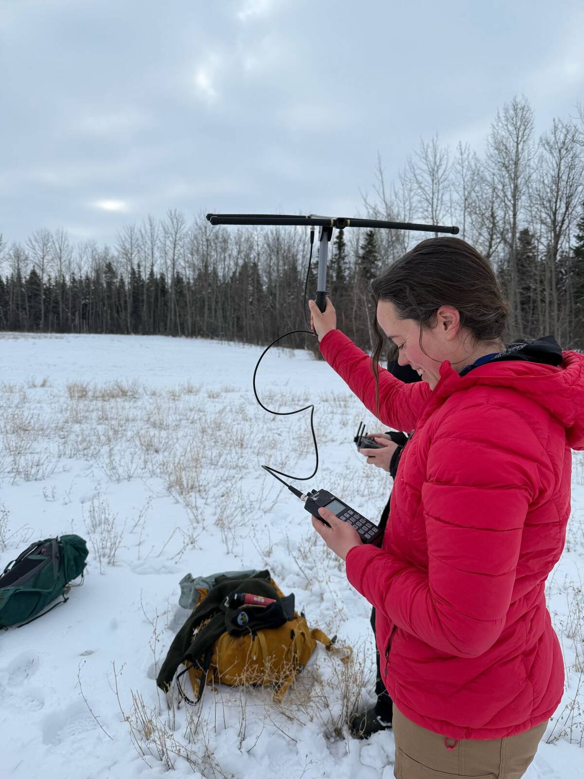
To help answer their questions, the team is working with trappers to capture pigs and put GPS collars on them. Vilalta flies drones that monitor the collared pigs.
Pig carcasses are analyzed for disease to help researchers determine the hazards they pose to livestock.
“Once the pigs are collared, they become our spy pigs, meaning GPS data can be used to track pigs and find their locations as well as sounders (groups of pigs),” Vilalta told the recent Ag Drone Summit in Camrose.
You can find all our coverage of the Ag Drone Summit here.
“Understanding the movement of the pigs helps trappers to find and trap wild boar, while having an understanding of the hazards and risks wild boar pose to livestock allows planning in the event of a disease outbreak,” she said.
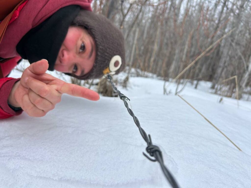
search area. Photo: Tirel Gowans
“Putting the collars on the pigs is actually a long process,” said Vilalta.
When trappers catch pigs, they call Vilalta and she alerts the rest of the team. This usually happens in the middle of the night in bad weather.
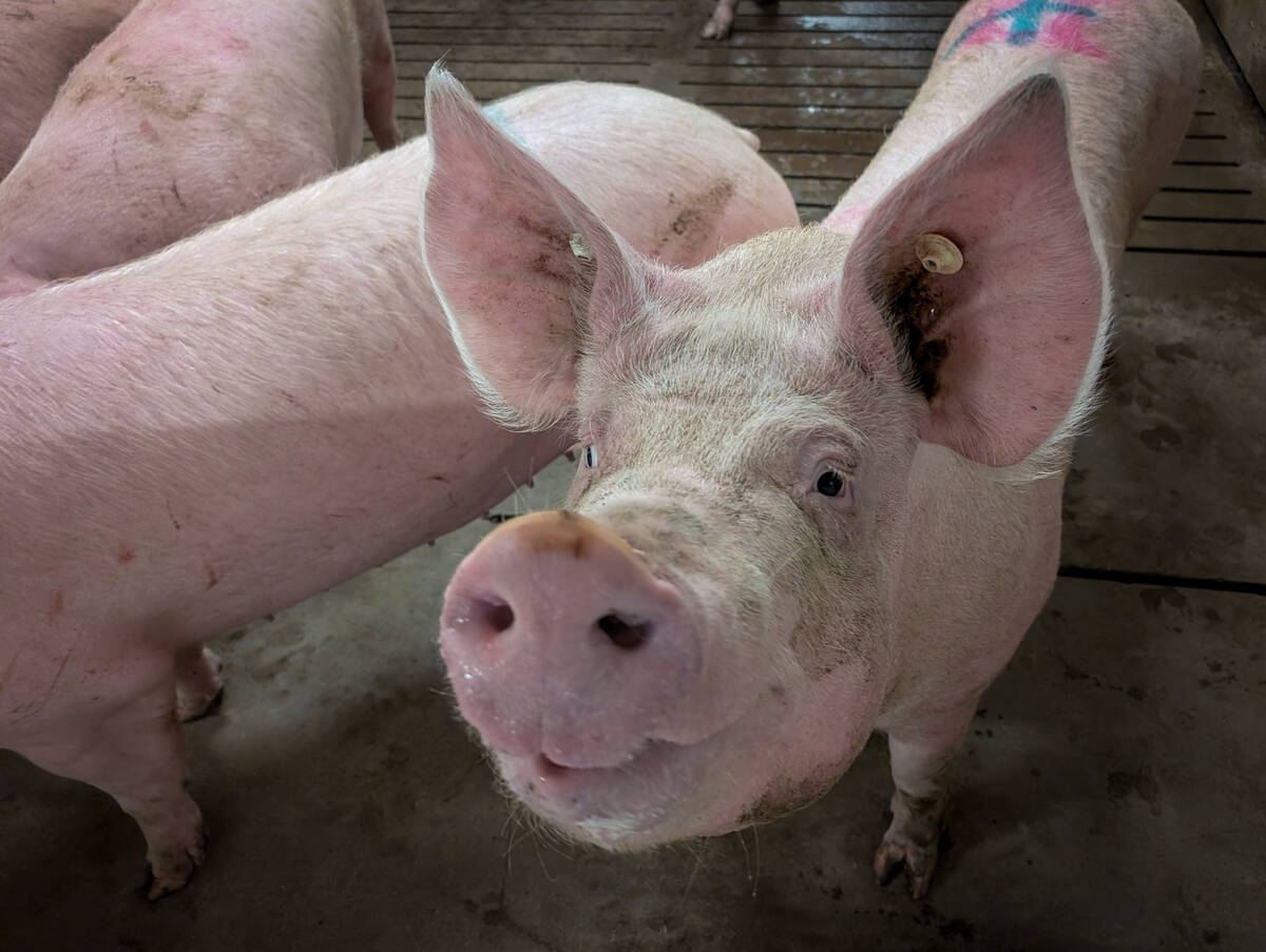
The animal is anesthetized. Heart rate and temperature are monitored, and skin swabs are taken. The pigs have tags put in their ears and are fitted with the GPS collars.
Pig movements followed
“Once we release the pig, we’ll monitor it regularly, just to make sure it’s healthy after collaring. It also helps to see if it’s joined any groups, as we usually don’t see them in person,” she said.
The GPS information from the collar is not always recent, so the information must be collected by triangulating and using telemetry.
The team uses DGI drones, which have an RGB camera that can see infrared imaging.
In one example, the team trapped a single sow, collared her and relocated her.
When they found her again, she was with a group of piglets and another sow. None of these other animals were known to the researchers at the time.
Using thermal imagery to detect pigs is not particularly easy either, said Vilalta.
Solar radiation (electromagnetic imagery emitted by the sun), vegetation type and pig activity can make it harder for researchers to use the thermal imaging to spot the animals.
“In my experience, considering those things and understanding the impact they have on thermals can really help optimize the time searching,” she said.
Large temperature differences create contrast. A field covered in snow will reveal a hot animal better than a black dirt field.
A warm, sunny day will create thermal clutter. It’s hard to spot animals when there is a reduced contrast between animals and the environment.
The situation can change over the course of the day. Half an hour after sun, the trees become a similar shade of yellow, and the meadow is cold and dark. This allows researchers to spot pigs.
Five hours after sunset, things are nice and dark. The pigs are sleeping under spruce bows, which makes them harder to find because the trees block the warmth of the pigs.
However, angling the drone can help the researchers find the pigs. If a forest is very thick, it blocks the view and the pigs are difficult to see.
In terms of solar radiation, dawn and dusk are best for detecting animals.
Overcast days are also good because there is reduced solar radiation. When pigs are under thick vegetation, it is difficult to spot them.
Pigs will show up in an image where the trees are still warm but the meadow has cooled off significantly. Boar will hide easily under spruce trees, especially if the trees are covered with snow.
When there are thick canopies, drones need to be positioned at other angles for a chance to see the animals, said Vilalta.
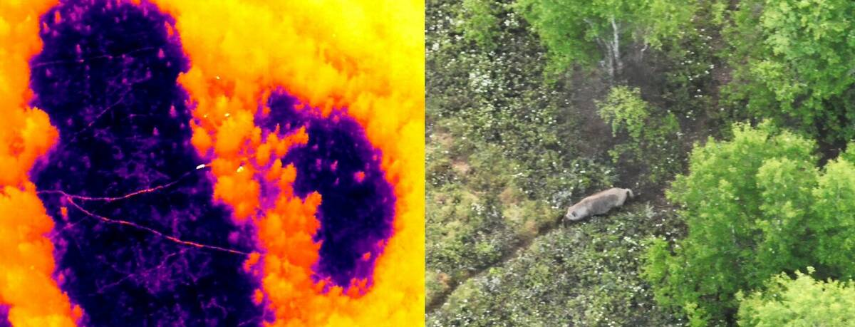
It’s easier to find pigs in open fields and leafless forests because there is less obstruction between the pigs and the thermal camera. Pigs that are foraging or travelling are easier to trace because of their movement.
Searching in deciduous forests is best when the leaves have fallen. Coniferous forests are always challenging.
“When the animals are foraging and move a little bit and are out in the open, it’s very easy to detect them,” she said.
Squeal on Pigs Manitoba has swept for pigs with drones and has found pig nests and signs of pigs rooting in the ground. Active beds will be free of snow and stand out.
Sometimes pig trails can be easy to find because pigs travel through the same spots and follow each other.
Part of the concern about wild pigs is they could transmit African swine fever to domesticated pigs.
African swine fever is not currently in Canada, but it is a deadly disease that could have serious consequences for the pork industry. The disease can also infect pig remains, so finding and removing wild pig carcasses is important. The carcasses can be found using drones.
“They’re easiest to find when they are on top of snow and harder to find when scavengers have come in for their parts because smaller parts reflect less heat,” she said.

Source: producer.com